Lake Superior Watershed as the Setting for Collaboration
The LSLLN uses the Lake Superior watershed as the setting in which we collaborate to address complex challenges at the intersections of food, water, land, climate, energy, and individual and community wellbeing.
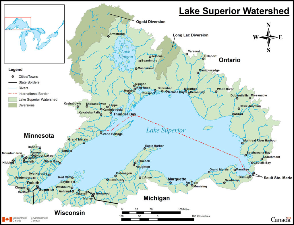
Lake Superior is the world’s largest freshwater lake by surface area and the most northern of the Laurentian Great Lakes. Spanning Canada, the United States, and several Indigenous territories, it collects water from over 200 tributaries.
Typically, watershed collaborations have been focused on water resource management, engineering, and ecology to respond to natural resources, pollution, energy production, flooding, or recreation. More recently, scholars have suggested that watersheds should also be used as settings for health, sustainability, and justice.
Learning from past watershed collaborations and recommendations from scholars, the LSLLN uses the watershed as a social-ecological setting for collective learning, sharing, work, connecting, and collaborating. Through this approach, the people in the LSLLN are consistently reminded to work across sectoral, disciplinary, and geographical boundaries and borders.
Additionally, smaller watersheds are nested into larger watersheds, which allows understanding and addressing complex challenges at different spatial scales. The LSLLN uses a similar nested approach to engage in projects at different scales: at universities, throughout a hub (city), and across the Lake Superior watershed (cross hub projects). The LSLLN is also branching out to engage with efforts throughout the Great Lakes watershed.